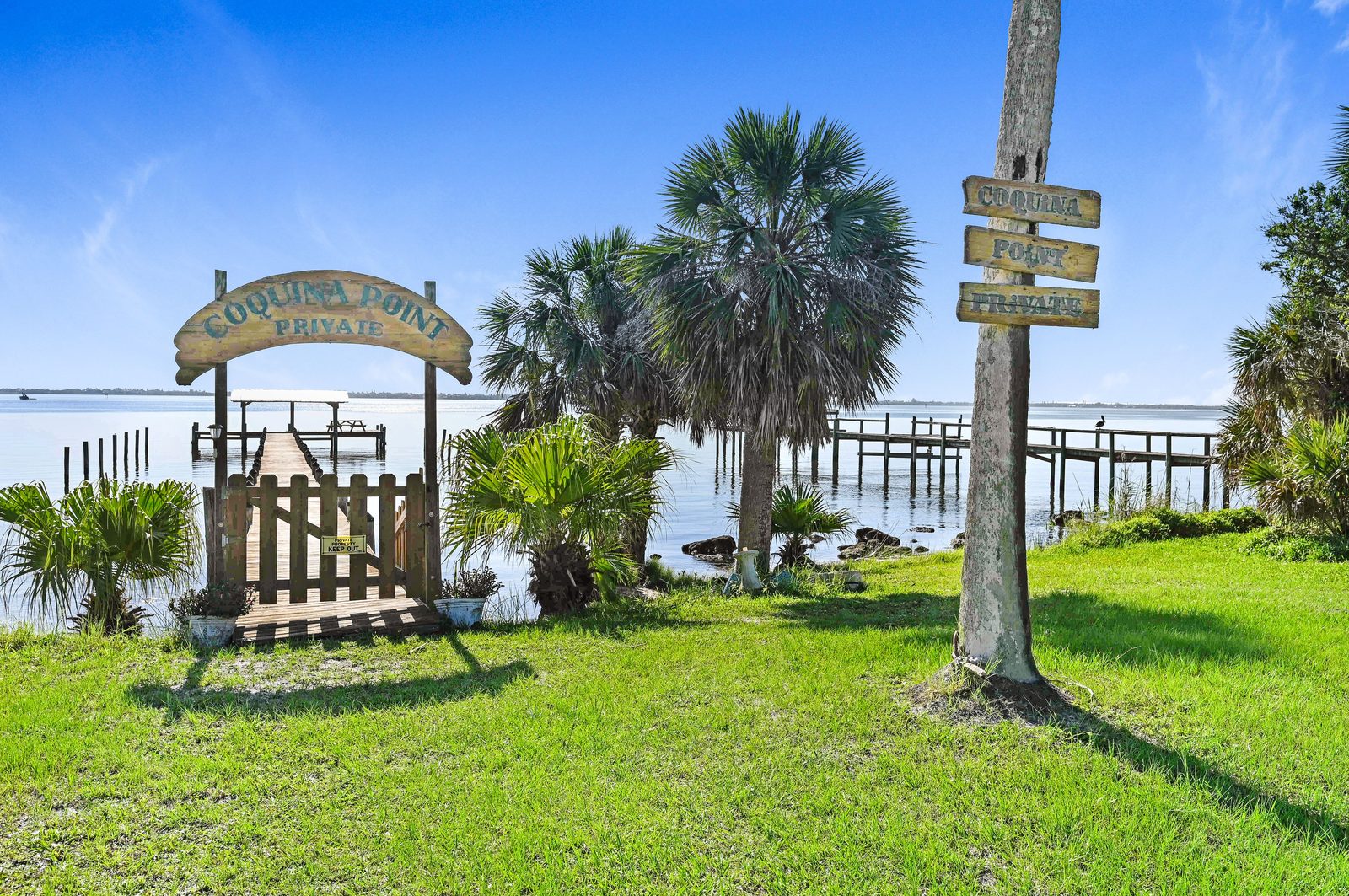
Waterfront homes on Merritt Island.
On Merritt Island, "waterfront" can mean four very different things. Which water matters more than the view.
Which water you are on
Merritt Island sits between two rivers. The Indian River and the Intracoastal Waterway run down the west side. The Banana River runs down the east side, and Sykes Creek and Newfound Harbor cut into the island from there. The Banana River Aquatic Preserve starts at SR 528 and runs south, and it takes in Newfound Harbor and Sykes Creek.
Merritt Island is unincorporated, so Brevard County sets the rules on docks, parking and building, not a city.
Why the side of the island matters
It decides how tall a boat can be and still reach the ocean. Fixed bridges on the Indian River side clear about 65 feet. On the Banana River and Newfound Harbor side the fixed bridges clear about 36 feet, and Sykes Creek's bridges clear 15 or 16. Our sailboat page walks through the routes.
It also decides depth. The Intracoastal Waterway is maintained at 12 feet. NOAA's last controlling-depth survey of the Banana River channel, from the late 1970s, found 3 feet, and the channel edges shoal. Ask for a recent depth reading at the dock before you buy a big boat for it.
Flood insurance is part of the price
If the home will be insured by Citizens, flood coverage is already required in FEMA's high-risk zones. For everyone else it phases in by value: homes insured at $400,000 or more need it from January 1, 2026, and all remaining Citizens policies from January 1, 2027.
Get the elevation certificate and a flood quote during your inspection period, not after.
What waterfront costs here
The island-wide median sale in 2025 and 2026 was $512,700 across 921 qualified sales. Riverfront along South Tropical Trail and the canal neighborhoods run well above that. Our luxury waterfront page has those numbers.
Home counts, years and lot sizes come from the Florida DOR 2026 preliminary tax roll (single-family homes with a Merritt Island address). Sale prices are qualified sales recorded in 2025 and 2026. Not every home in a named neighborhood is on the water: check the parcel.
Questions we get.
Is Merritt Island on the Indian River or the Banana River?
Both. The Indian River and the Intracoastal Waterway run along the west side, the Banana River along the east side, with Sykes Creek and Newfound Harbor cutting into the east side.
Do I need flood insurance for a Merritt Island home?
With Citizens, yes in FEMA high-risk zones, and by January 1, 2027 for all remaining Citizens policies. A lender can require it too. Get a quote during the inspection period.
Tell us what you want to keep at the dock.
Boat, lift, mast height. Call or text Dana & Randy and we'll narrow the island down to the water that fits.