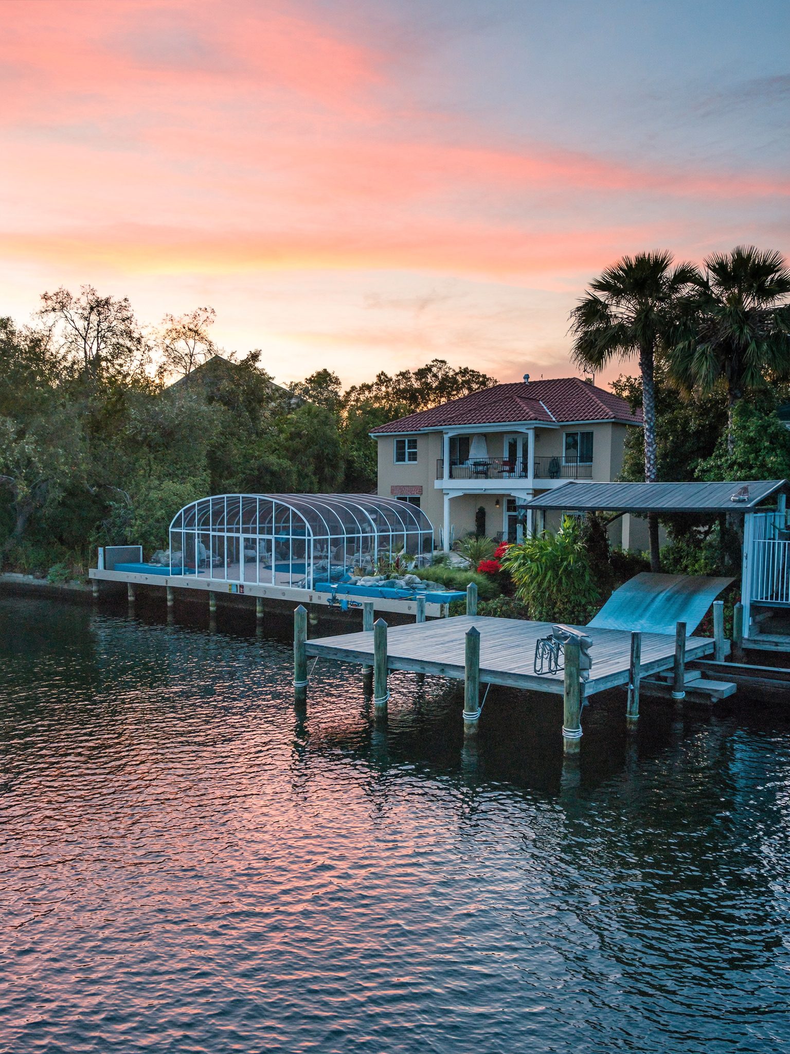
Sailboat homes and deep water on Merritt Island.
For a sailboat, the question is not whether the house is on the water. It is how tall the lowest bridge between you and the ocean is.
How boats get to the ocean from here
The Canaveral Barge Canal leaves the Intracoastal Waterway at mile 893.8, crosses Merritt Island and the Banana River, and runs through the Canaveral Lock into Port Canaveral. The federal channel is 12 feet. The lock is 90 by 600 feet, runs from 6 a.m. to 9:30 p.m. every day and costs nothing to use. Boats tie up on the south wall and ride a rise or fall of about four feet.
Sebastian Inlet, to the south, is the other way out. NOAA calls it dangerous and particularly hazardous to small boats, with currents up to 10 knots, and its fixed A1A bridge clears 37 feet.
The bridges that decide mast height
These are NOAA's charted clearances from the U.S. Coast Pilot. On the Indian River, the SR 528, SR 520 Cocoa, Pineda and Max Brewer fixed bridges clear 65 feet. On the Banana River, the SR 528 and SR 520 bridges clear 36 feet, the SR 520 bridge over Newfound Harbor clears 36, and the Pineda bridge clears 43. Sykes Creek's bridges clear 15 feet at the mouth and 15 and 16 feet further up.
The drawbridges add limits of their own. The SR 401 drawbridges over the Barge Canal clear 21 feet closed, and power lines over the canal cap masts at 65 feet. The Christa McAuliffe bridge opens on the hour and half-hour from 6 a.m. to 10 p.m. The NASA Causeway bridge needs four hours' notice.
- Indian River fixed bridges: 65 ft
- Banana River at SR 528 and SR 520: 36 ft
- Newfound Harbor at SR 520: 36 ft
- Banana River at Pineda: 43 ft
- Sykes Creek: 15 to 16 ft
- Barge Canal power lines: 65 ft
Our reading of those numbers
This is our reading, not an official route. From Indian River frontage, a sailboat with a mast up to about 65 feet can reach the ocean through the Barge Canal and the lock, as long as the drawbridges open. From the Banana River or Newfound Harbor, the fixed bridges hold you to about 36 feet heading north, or 43 heading south under the Pineda bridge. Sykes Creek is powerboat water.
The SR 528 bridge over the Banana River is being replaced. The Coast Guard notice gives today's span as 35.7 to 36.4 feet and the new design as 37.9 feet.
What deep water means locally
The Intracoastal Waterway and the Barge Canal are maintained at 12 feet. The Banana River channel is a different story: NOAA's most recent controlling-depth survey found 3 feet, though that survey dates from 1976 to 1978, and the channel edges shoal badly. Get a current depth reading at the dock and along your route before you commit a keel to a house.
Questions we get.
Can a sailboat reach the ocean from the Banana River on Merritt Island?
Only smaller rigs. The fixed SR 528 and SR 520 bridges over the Banana River clear about 36 feet, and the Pineda bridge 43 feet, per NOAA. Indian River frontage allows about 65 feet through the Canaveral Barge Canal and lock.
Does it cost anything to use the Canaveral Lock?
No. The Canaveral Lock is free and runs from 6 a.m. to 9:30 p.m. daily.
Tell us the mast height.
Call or text Dana & Randy and we will only show you water your boat can actually leave from.